Apologies for the delay, I’ve been wintering for the past few weeks. Which feels appropriate as I reflect on photographs of snow covered trails in the Sierra Nevada. Happy new year and hello to some of the new subscribers! The Sierra’s will be a two parter as it was an important chapter in the hike, so thanks for taking the time to read the next instalment of Beyond the Mountain Path.
Intro: a return to analogue
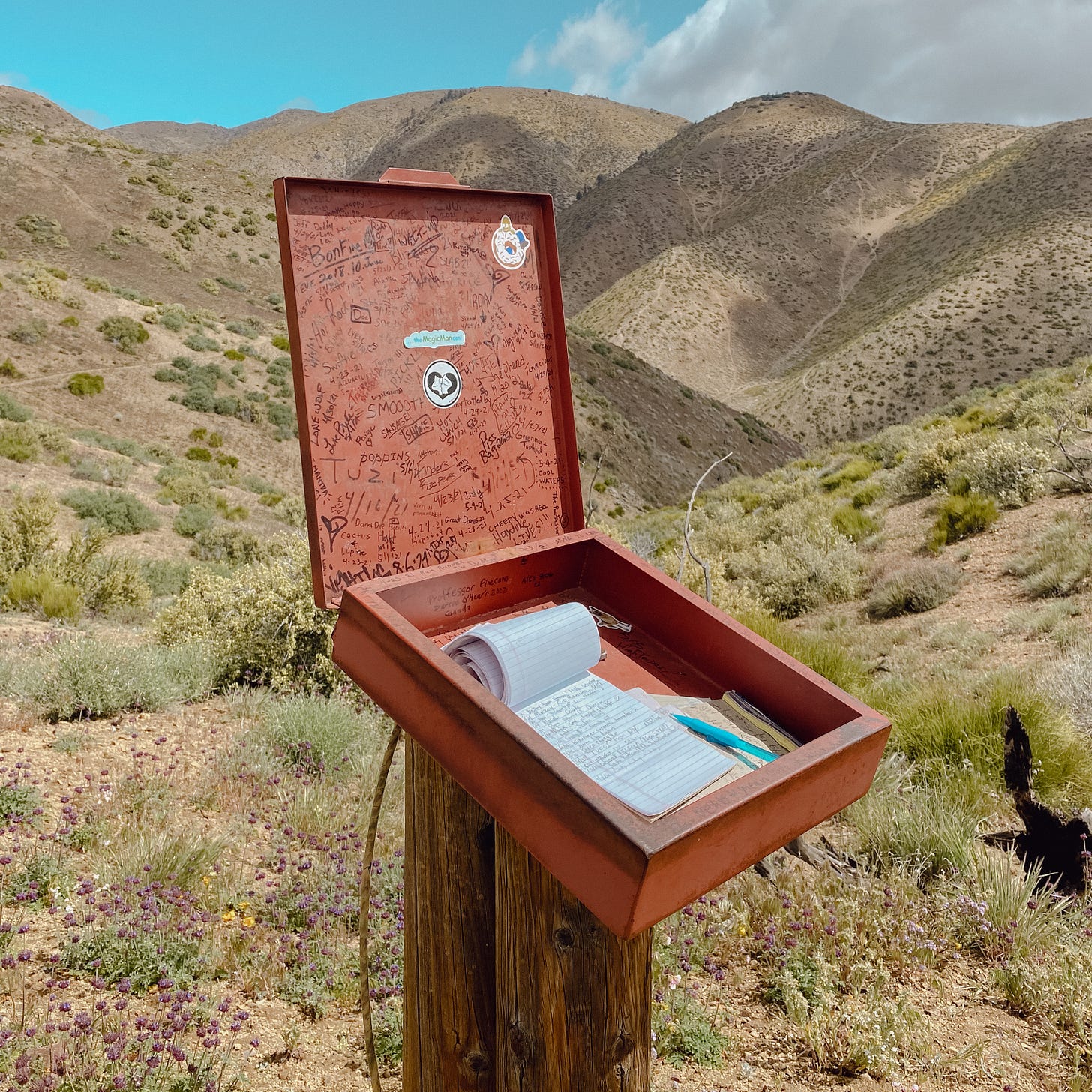
As a photographer I’m drawn to film cameras, just as people love other analogue formats such as vinyl and dare I say, paperback books. There was a list of books I intended to read that summer, but it was always the last thing on my mind after a day of walking — though one thing I did not expect to enjoy as much as I did, was reading trail registers.
In a way it was a return to analogue, checking in and seeing how far ahead other hikers were. It was something sacred in the trail community that technology hadn’t yet replaced. To the non-hiker it might sound strange (even stalker-esque) however in the perspective of a four to five month hike there were people who I didn’t see for weeks, sometimes months at a time. More often than not I never saw them again.
One such example was coming off the back of Benson Pass, a hiker moving so fast in the snow you could of mistaken his shoes for skis. He was tall and effortlessly fast. We spoke for a brief moment as he cruised by “names Rabbit.” was the last thing he said. He ended up finishing four weeks ahead of me and didn’t skip a single mile as he was faster than all of the wild fires in the west (California, Oregon and Washington).
Most registers were battered and barely held together, much like us through-hikers. Others were bound and dated neatly, dutifully maintained by loyal volunteers. In the final stretch of Washington I met one such volunteer who explained that two years ago the trail register he cared for had actually been stolen. Most are stashed inside a metal lockbox, which would undoubtedly be accompanied by one of the following: a stale pack of Ritz crackers, a packet of mustard, soy sauce or rolling papers.
This analog element of the trail felt intertwined with the philosophy of hiking itself, walking is an ancient as it gets — a forgotten art, life in its simplest form. The nature of this trail transformed walking into migration, a return to the simplest parts of the human experience.
Kennedy Meadows
I’d spent two days resting, eating and drinking my way through Kennedy Meadows, a sleepy settlement of 200 people. Spending my time between the only two establishments in ‘town’, the historic General Store and newer hiker retreat Grumpy’s. I left with a considerably heavier pack, nine days worth of food on my back and a bear canister strapped precariously on top. More importantly I had new shoes and vowed to never push a pair 700 miles again.
With the departure of Monty at Walker Pass, a Sierra crew formed at Kennedy Meadows — Suntory, Yan, Hugo, Nate and myself. Safety in numbers. Shortly after entering Sequoia National Forest our permits were checked for the first time. It was checked a grand total of two times the entire trail, which was either an indication of how early my start was or just how isolated this trail can be. Walking into the foothills of the Sierras a rattlesnake lazily warned us of it’s presence, bloated in the morning sun from a recent feed.
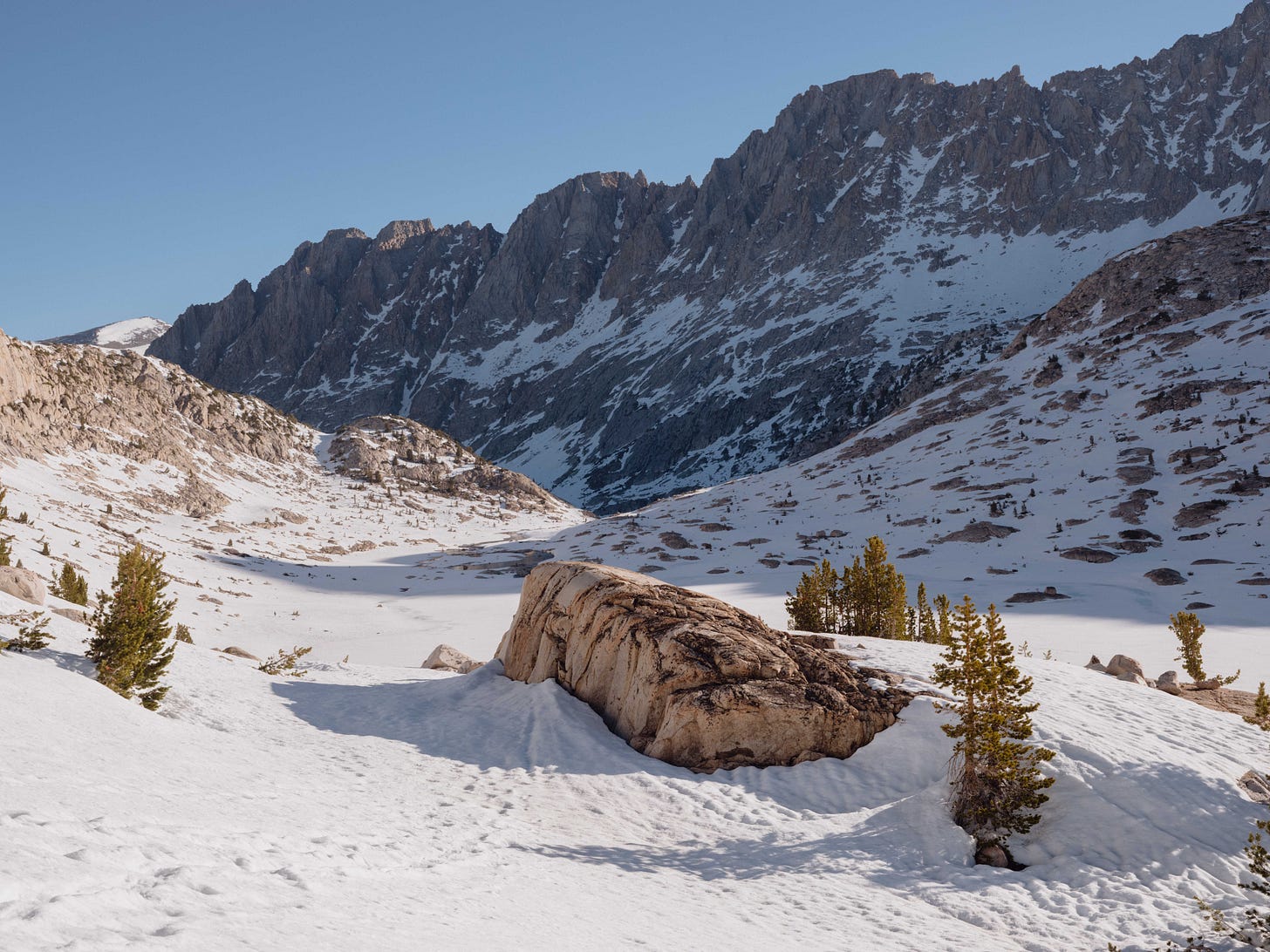
May 17th was early to be heading into the Sierras. Though earlier predictions suggested a low-snow year and if timed right there would be little snow and quieter trails. Our timing was on the fence, neither here nor there. The spring storms mentioned in part one dumped snow at the higher altitudes and simultaneously the snowmelt was accelerating, making river crossings more challenging.
The Sierras section of the PCT can be defined as a 700 mile stretch, though there are conflicting ideas of their actual start and end. For the reader, Kennedy Meadows to South Lake Tahoe is 400 miles, which meant there would be snow underfoot for around 350 miles, give or take.
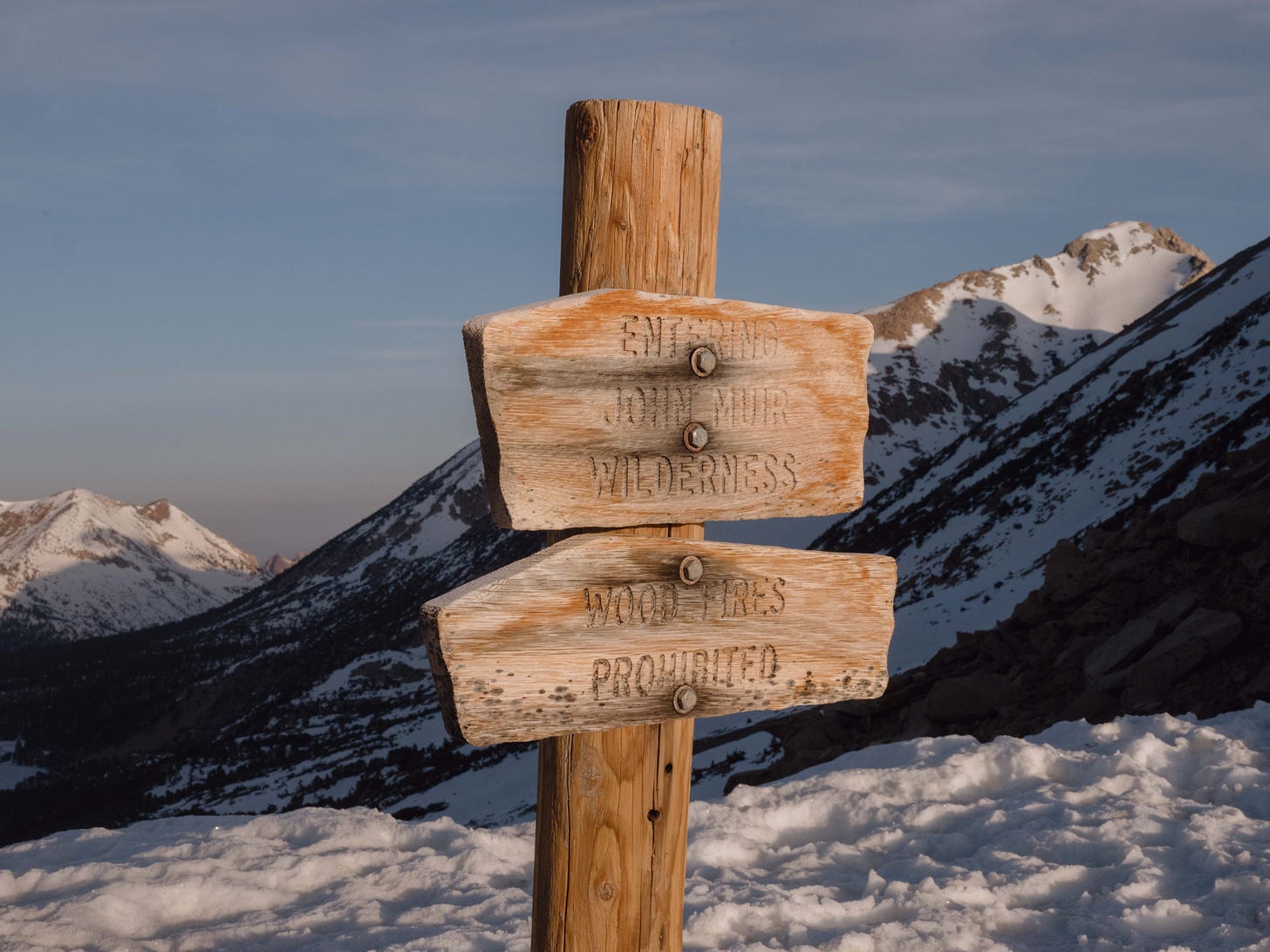
Conditions aside, I remained naively excited. The Sierra Nevada mountain range is one of the most iconic wilderness areas in the United States, the trail leads you through Kings Canyon, Sequoia and Yosemite National Parks — connecting with historic trails such as the John Muir Trail. With seven major passes to traverse in the Sierras, as well as several smaller ones, climbing a mountain pass every day was to be expected.
Journal Day 47 | EOD mile: 723.4 | Miles: 20 | The Sierras
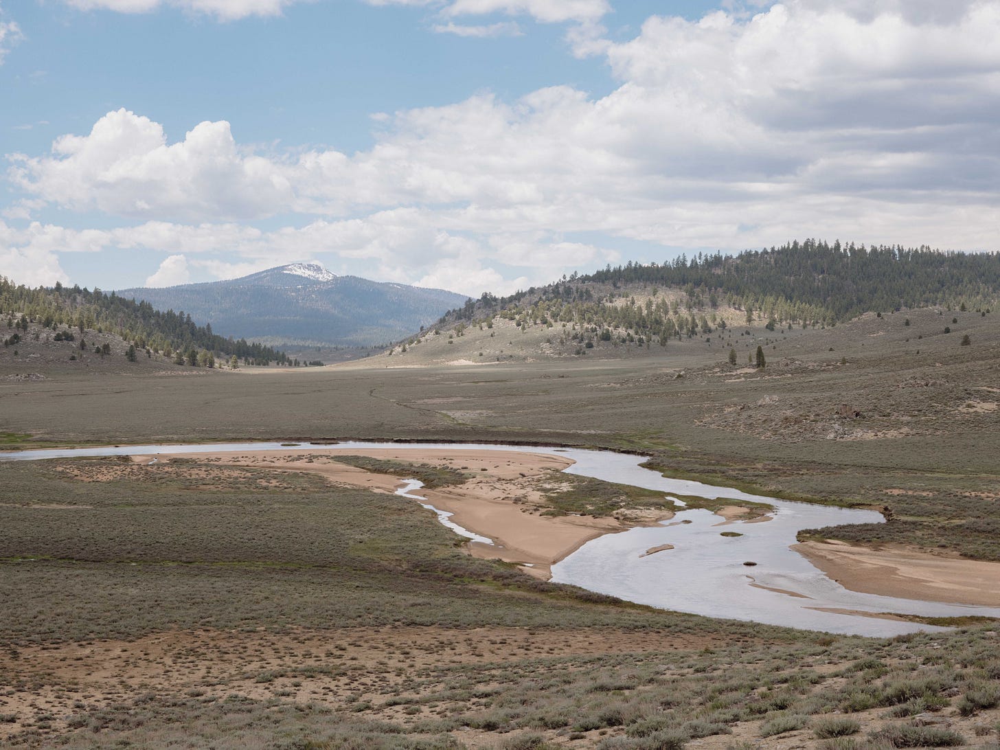
“Climbing the hills outside of Kennedy Meadows a vast valley opened up before us, revealing the South Fork Kern River, running slow and wide. Fought the urge to camp right by the river. Wish I’d bought a fishing rod. Climbed above 10,000 feet. though not as cold as I’d imagined. Why do I keep measuring in feet? I’m English.”
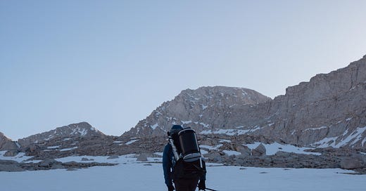
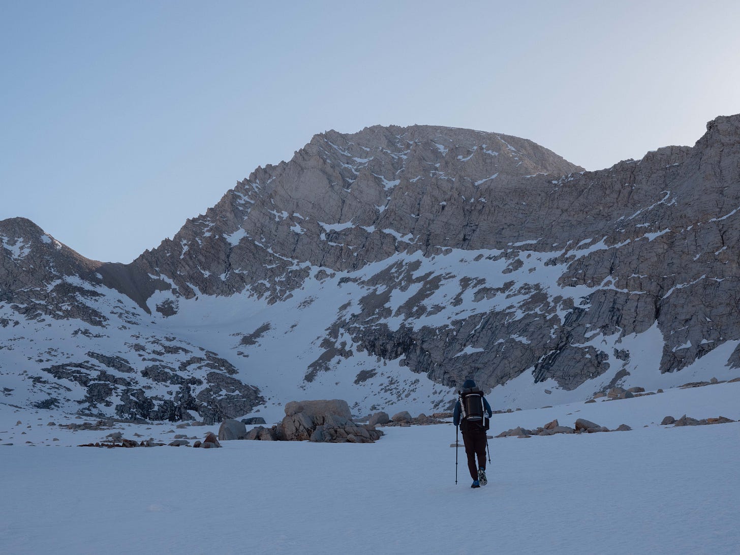
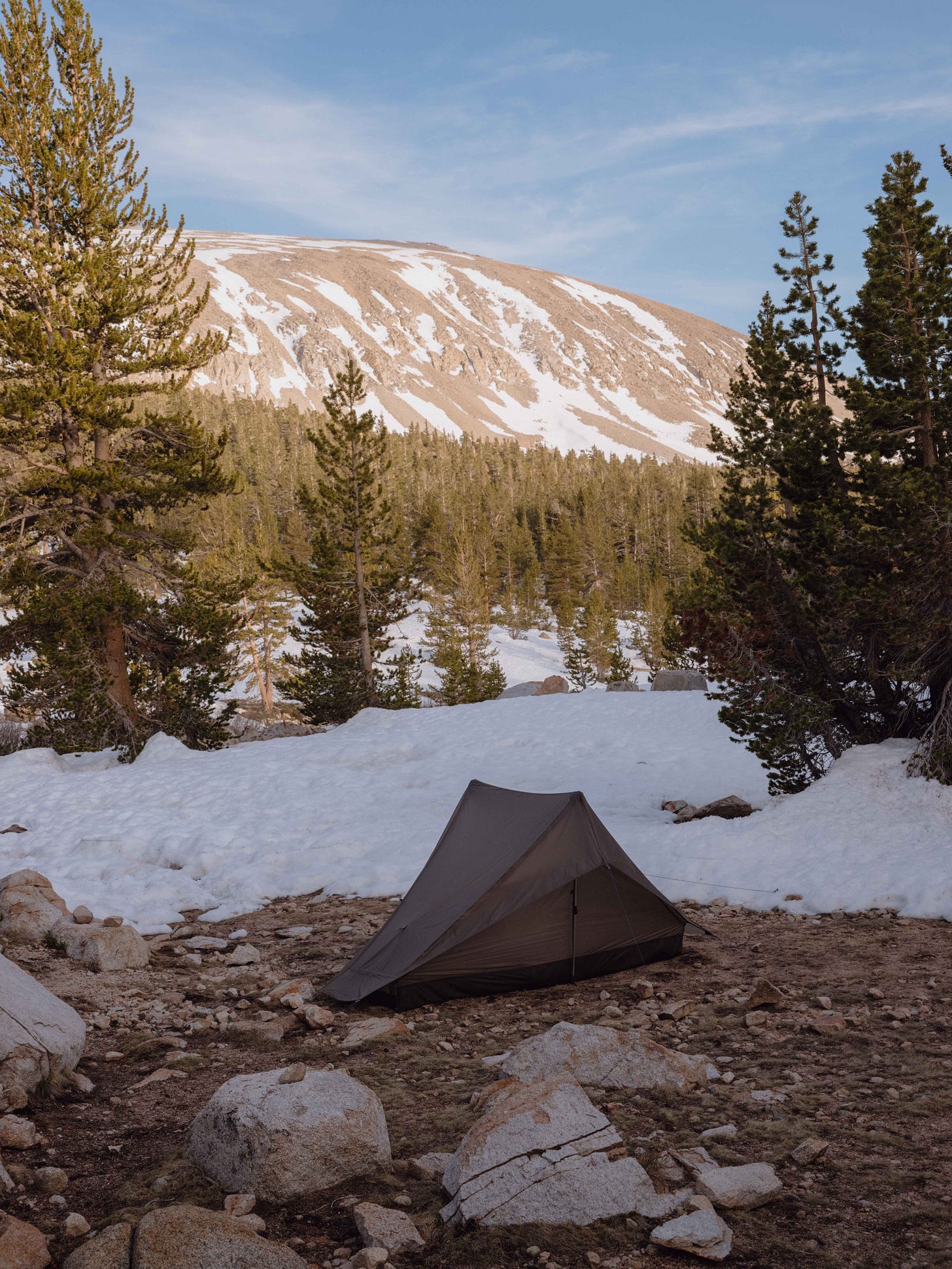
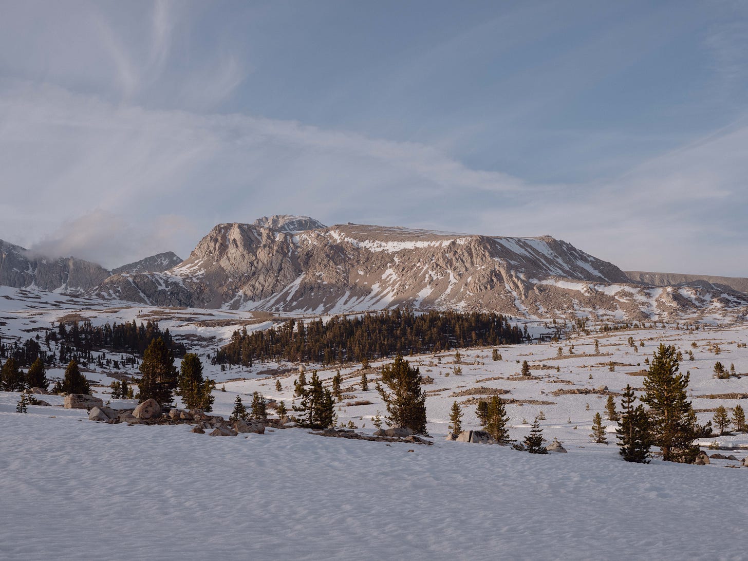
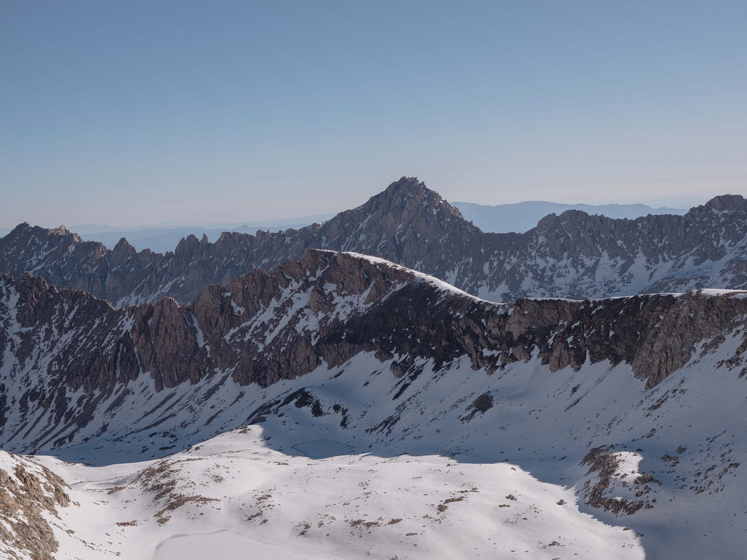
There was a simplicity to this place, no roads, light pollution or phone service. I write this piece with warm nostalgia for those early days in the mountains, though in the end the Sierra’s almost ended my hike. There was a storm on the second day that we managed to outrun, failing to dampen our spirits. The mornings were below freezing, yet early starts were essential as walking on solid ground was the only way to make steady progress in the snow.
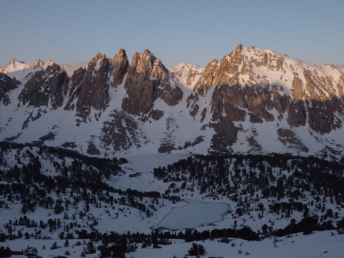
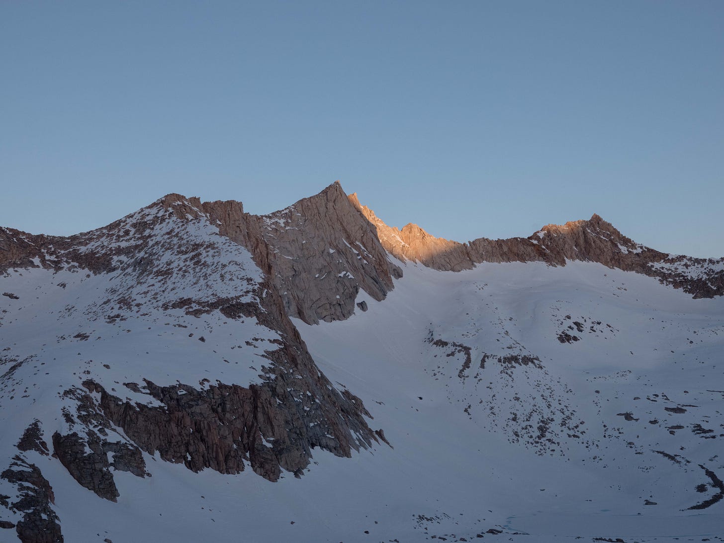
My foot still hadn’t fully recovered and the snow was playing a part in that. The new shoes helped, but there was a nagging sense it might never recover. Suntory was also suffering and we agreed summiting Mount Whitney (a popular side quest for PCT hikers) was off the cards. Instead opting to camp near Crabtree Meadows before connecting with the historic John Muir Trail the next day, we watched the peaks surrounding Mt Whitney bathing in orange light through the trees.
Forester Pass
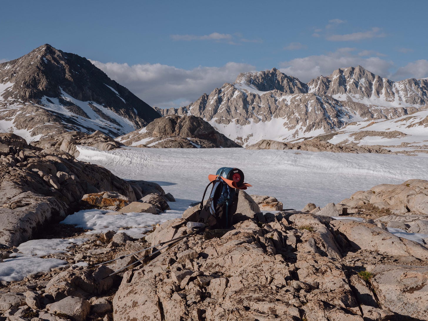
Sierra river crossings were no picnic, the cold biting at your muscles as you waded through glacial water, dodging algae coated rocks underfoot. There were three crossings that day, before passing over the Bighorn Plateau. In that open snow field any regrets of not attempting Whitney faded away instantly.
The melting snow meant approaching Forester Pass that day would be pointless. Setting up camp early was a rare novelty, but when the body is accustomed to walking all day, the mind can wonder whats going on. The afternoon was spent washing clothes, patching my tent with tape and intermittent sunbathing beside Tyndall Creek. Watching military jets passing across a cloudless sky, not a single hiker walked by us that day.
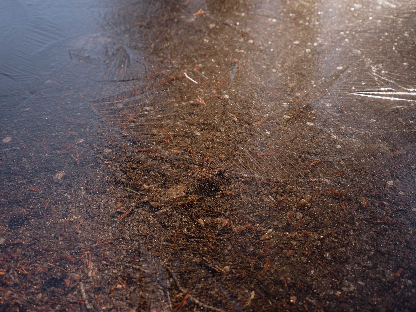
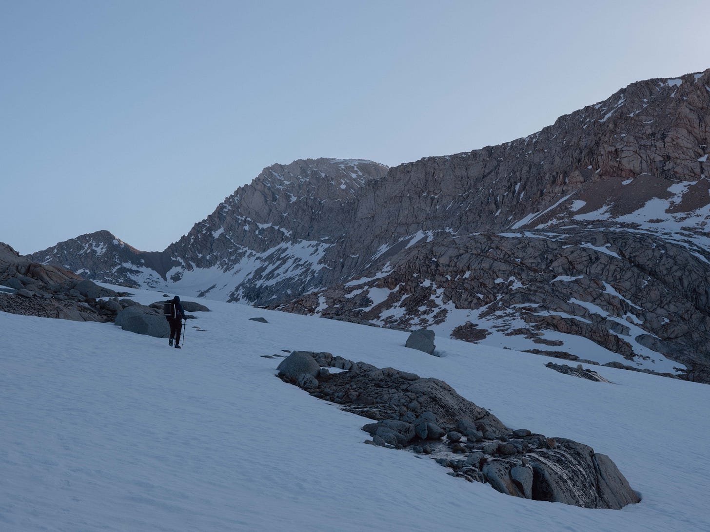
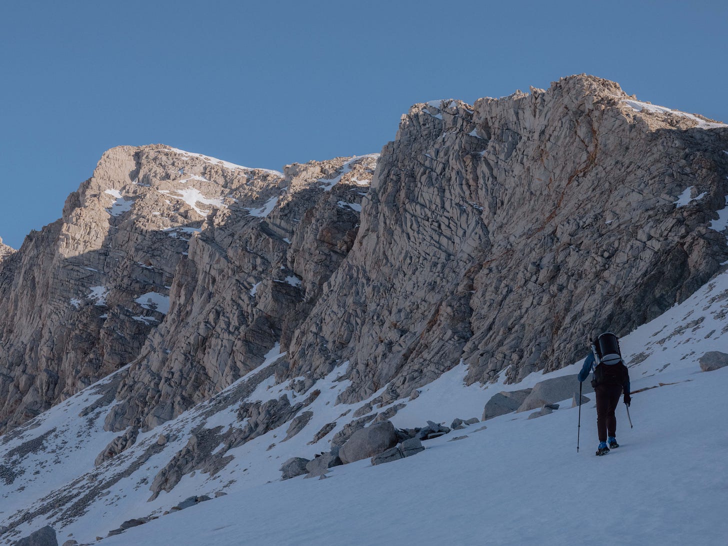
The approach started at dawn, the pass loomed in the distance as orange light streamed over the surrounding mountains to the east. The air was still and a silence filled the valley. Only the sound of my heavy breath and the ice below filled my ears, and a feeling that only mountains can instil in my bones.
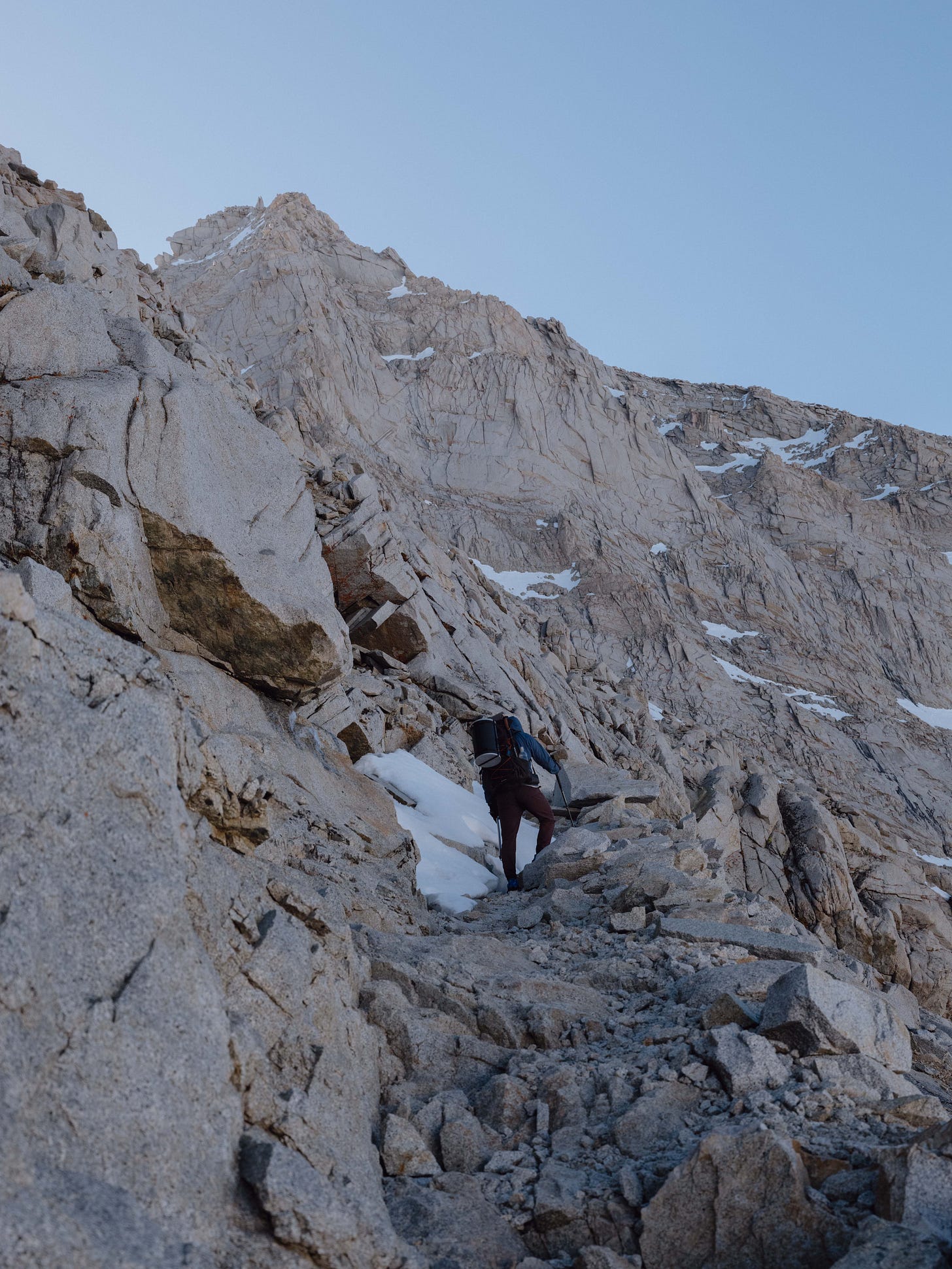
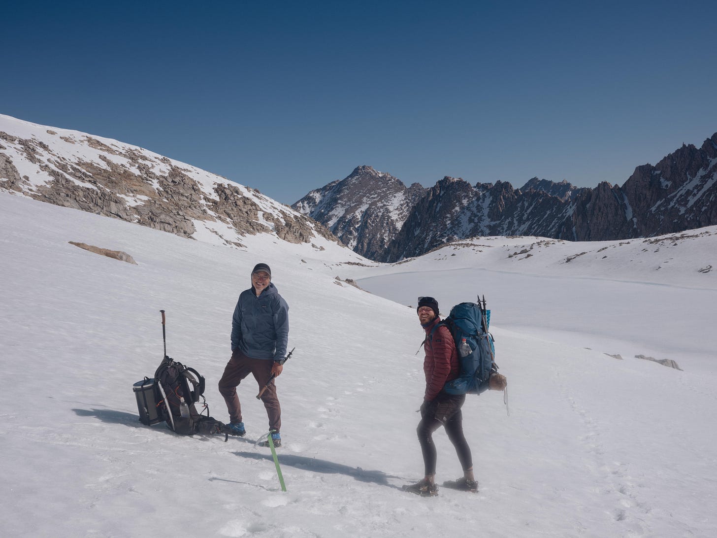
Suntory led the climb, the trail was difficult to navigate with thick snow and no visible foot track being early in the season. Diagonally he carved the way and my inexperienced legs trailed behind, resisting the urge to take my camera out with each step.
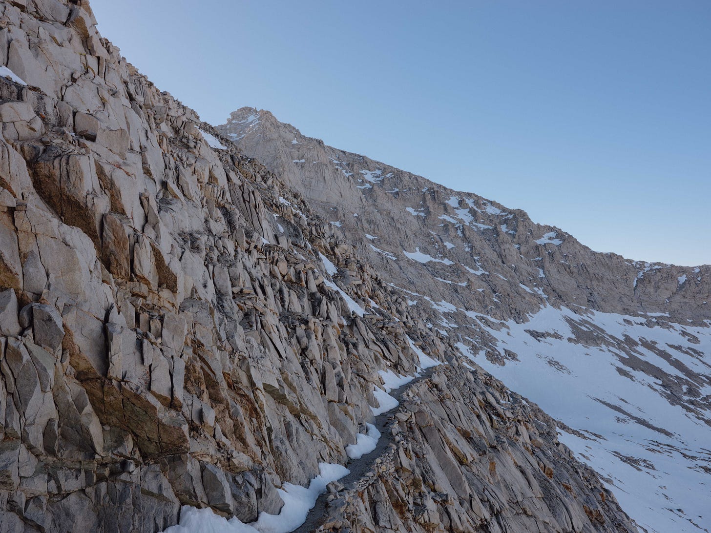
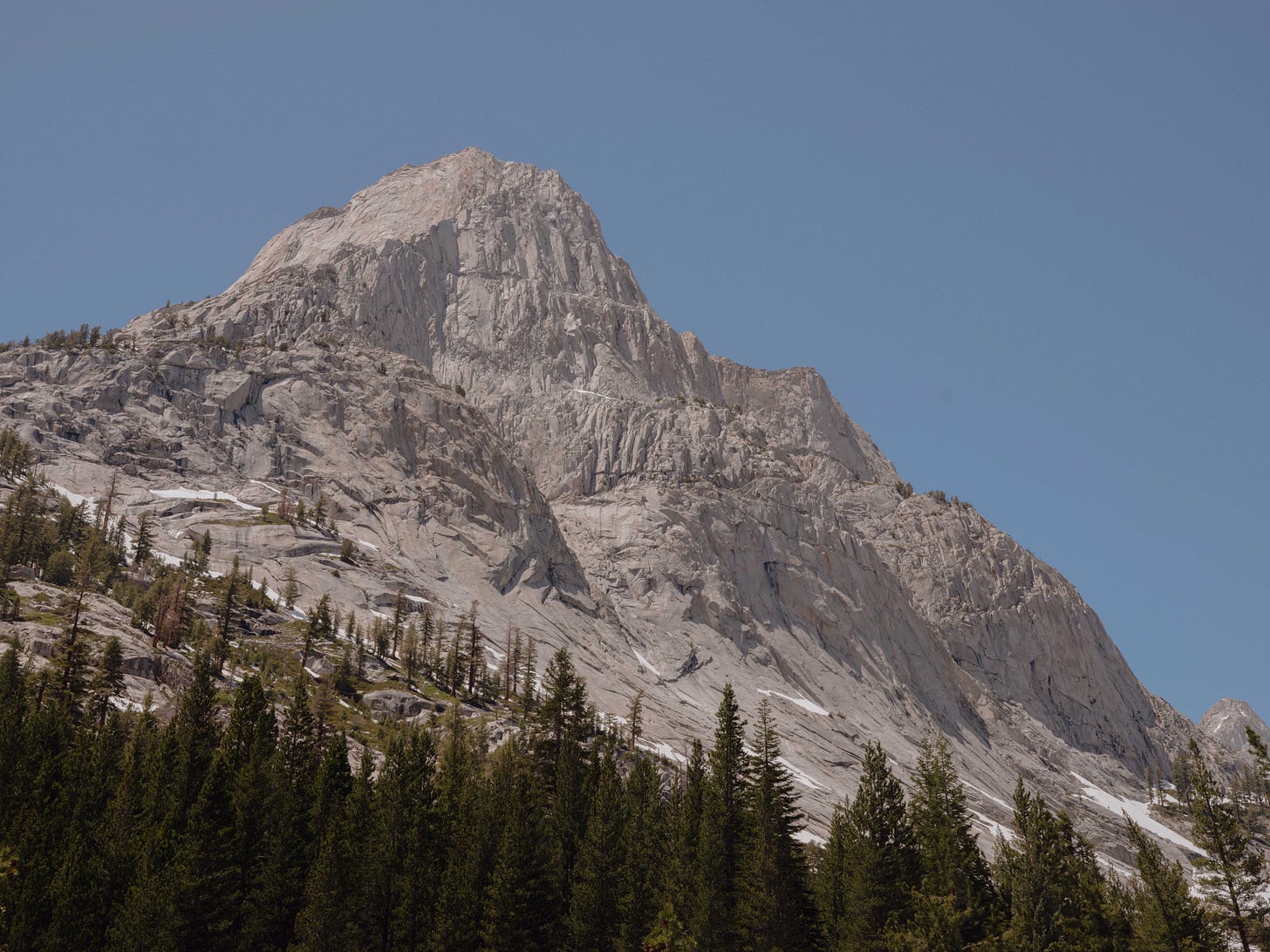
It was a steep climb and our ice axes remained in hand until we reached the security of the stone path above. Gazing upward as we climbed the switchbacks became more visible, etched into the side of the granite rock in a zig-zag pattern. Pausing for a moment to think about the people who built these trails into the side of the mountain.
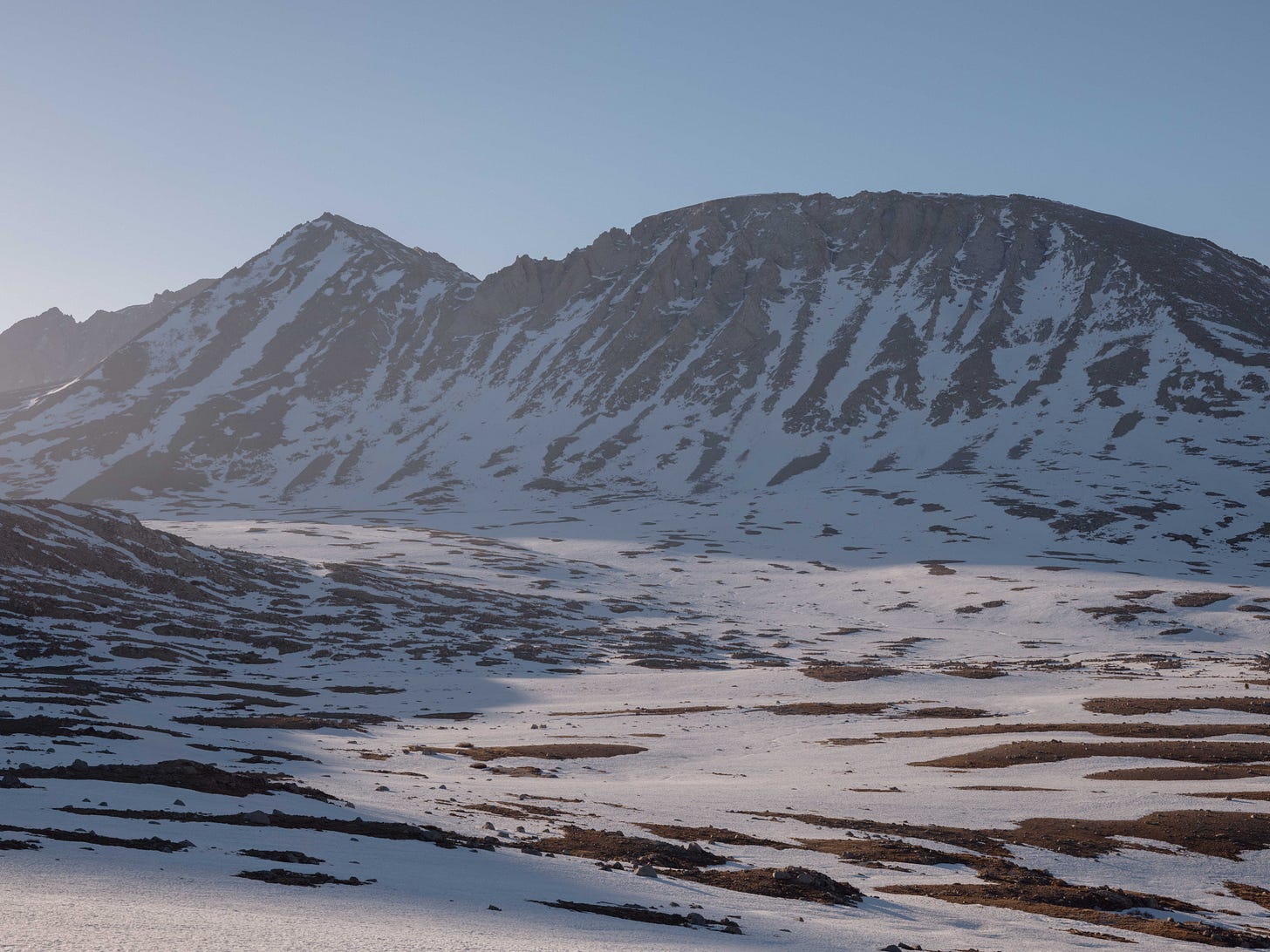
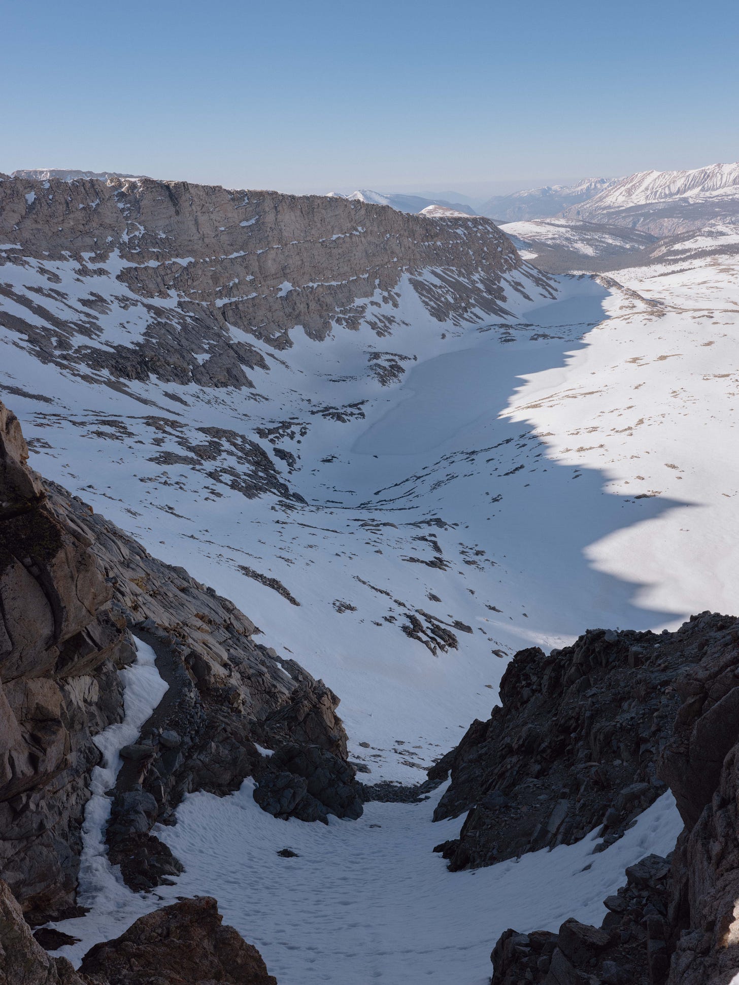
Once back on the path the ascent winded through a series of switchbacks, climbing steadily to the top of the pass. It was the highest point of the entire trail reaching 13,120 Feet (3998 meters). Perhaps the pictures can speak for themselves on behalf of this place. We climbed out the shadow of the mountain and rested in the morning sunlight. Looking back on the snow field below, three black dots appeared it was Yan, Hugo and Nate.
Later that afternoon Suntory and I pushed for Kearsarge Pass, knowing that there was a chance for some rest in the town of Bishop, a town surrounded by mountains, rivers and bouldering where I could probably die happy. Kearsarge is the second pass northbound that offers an exit out the Sierras, requiring a steep five hour up and down to Owens Valley. Knowing all the way that you will have to do it all over again on the return, though in the end I didn’t complain about seeing Kearsarge twice.
Whilst in Bishop, Suntory announced he wouldn’t be coming back over Kearsarge pass, altitude sickness was affecting his sleep causing a knock on effect. Just two days before we had almost carved out two passes in one day, I was losing another trusted companion after almost 800 miles together. Suntory had climbed El Capitan twice and I was grateful for all the mountaineering knowledge he shared with me. It was gutting, but mostly I felt guilty for not realising how much the altitude was affecting his hike. Yet this was the reality, if injury, fatigue or finances didn’t pull you off trail there was a good chance life might too.
In town there was a lot of talk going around about detours, something I hadn’t even considered yet. It was becoming evident that the PCT wasn’t going to be a simple A to B journey, with many skips and workarounds predicted even before considering wildfire season. We were advised that the Alpine Col detour was the best way to avoid the damaged bridge and dangerous rapids crossing of Evolution Creek. We were shown recent GoPro footage of a group that was wiped out at the crossing, washing some of their bags downstream. Luckily everyone was able to get out of the water before it got serious.
Farewells
Driving down the 395 highway in Owens Valley we discussed the upcoming passes, the Mormon church in Lone Pine and whether or not Suntory would rejoin the trail. At the trailhead for Kearsarge Pass we said our goodbyes, Suntory had gone out of his way to drop us at Onion Valley road in a rental. The next section looked tough with four passes and the Alpine Col detour to tackle before reconnecting with the PCT via Piute Canyon. Doubts crept into my head at the end of the first day, whilst away from camp collecting water I almost passed out, with white dots appearing in my vision.
The snow often covered the trail and we were essentially undertaking light mountaineering in running shoes, despite this we were covering serious miles. The passes became both the carrot and the stick, with one day seeing us clear both Mathers and Muir Pass — it became one of my most memorable days on trail. Mathers was a steep slog of a climb at dawn, following boot track in almost complete darkness. At the pass we drank whiskey as we watched the sun come up, warming our bellies before an icy glissade down to the lakes.
Once over the frozen Palisade Lakes the trail dropped down to Le Conte Canyon. Below the snow line it felt as though the seasons had changed — deer, marmots, fantails and woodpeckers filled the valley. After taking a rare river dip in the snow melt from Palisades Lake, Yan & I agreed Muir Shelter was in reach. The trail ahead appeared mostly flat and we steamed through ten miles of snow free trail before the climb to Muir Pass.
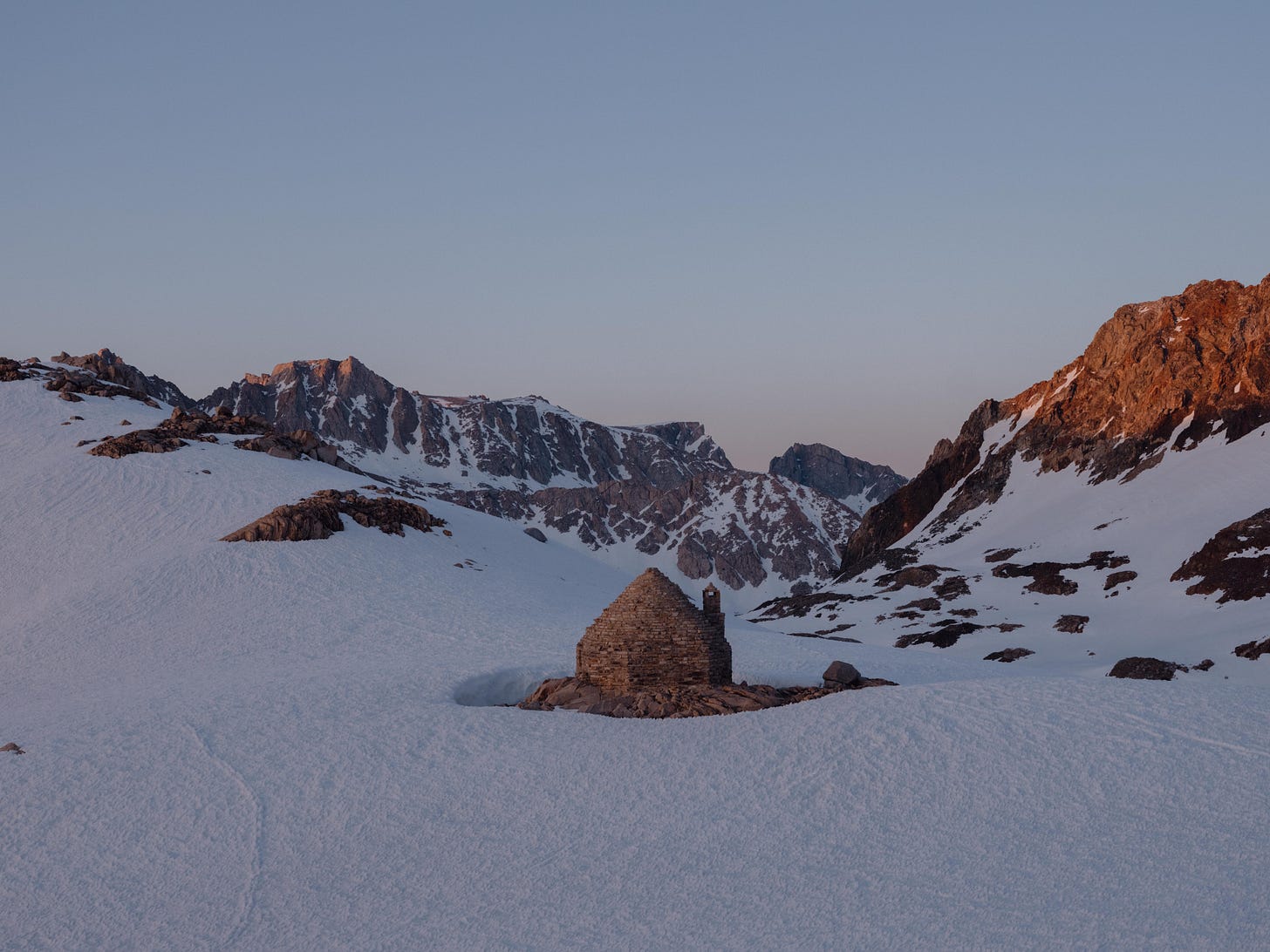
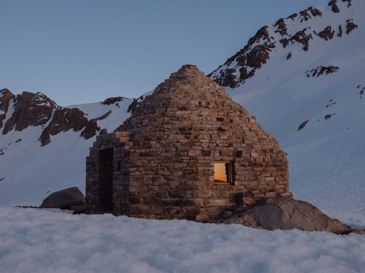
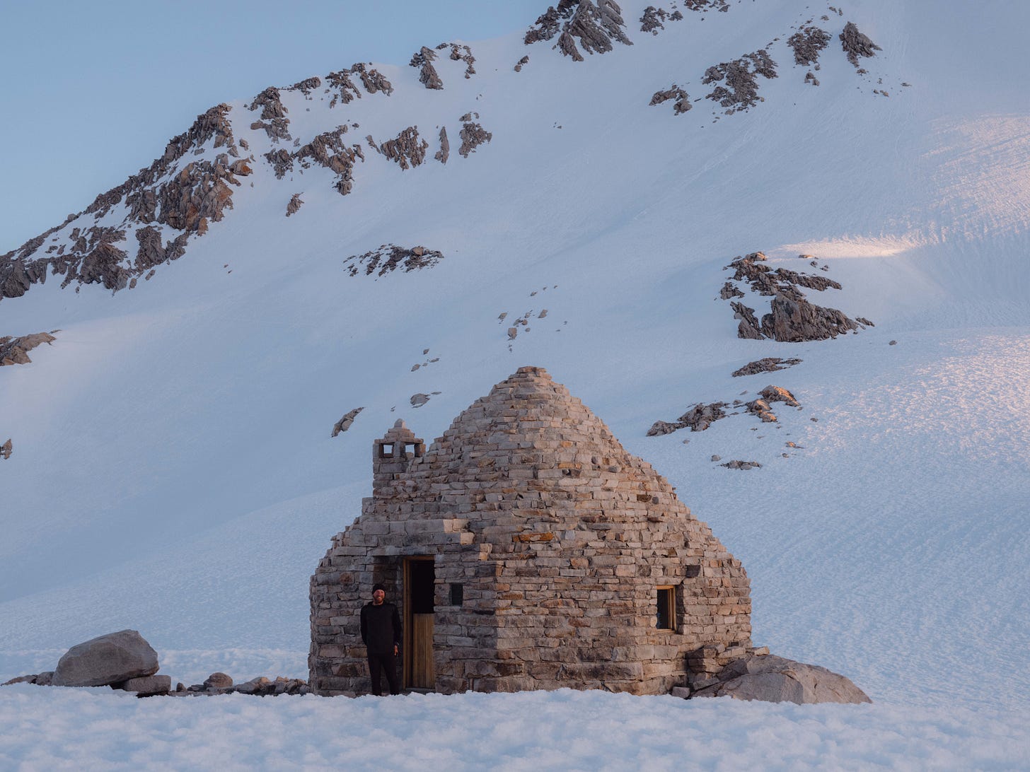
People had mentioned this hut, but I had no idea of its condition — in my mind I pictured a wooden shack battered by years of alpine weather. Instead with light fading I stumbled across an immaculate stone shelter, a place of refuge. After weeks of growing accustomed to sleeping in my tent and cowboy camping, I’d never been happier to see something made of stone and mortar.
Constructed almost a hundred years ago by the Sierra Club In 1931. The fireplace had been blocked up, there was a crack in the window and a broken glass panel on the door. Despite this it felt like a 5 star hotel, and was one of the best nights rest I had on trail.
Before starting this trail, in the Sierras I imagined swimming the rivers, fishing the lakes and reading books in the midday heat. The reality became more of a grind, the snow had suppressed the famous wildflowers and the miles were slow in the Sierras. Simultaneously I felt guilt for making the smallest complaint, I was both loving and loathing the snow.
On the day of the Alpine Col detour there was a disagreement on the route, forcing us to back track. Turning I slipped and had to quickly use my ice axe to self arrest, securing myself. About 150 metres below there was a deep blue crevasse of unknown depth. The following two days were a blur, everyone was exhausted, we were beaten up by the snow, arguments were breaking out — not far from becoming another Donner Party. After thirteen days in the mountains we reached Mammoth Pass, not even half way through the Sierras at mile 904.
Hobbling out the woods I found a group of filthy, snow-blind hikers warming themselves in the morning sun. Forming some sort of disorderly queue, waiting for a bus into Mammoth town. Amongst the crowd I spotted a friendly face, Taps. I’d last hiked with her over 500 miles ago. We had climbed to the hills above Lake Arrowhead when we heard a black bear was raiding food from hikers at the lake. I remembered train signals from Cajon Junction echoing in the distance, it felt like a different world.
As time went by more and more hikers emerged from the woods, there was over thirty of us eagerly waiting for the bus. Malnourished and craving anything that wasn’t made in a factory. Where had all these hikers been hiding the past week? Round the corner the bus approached, it was a six-seater mini van.
Part two of the Sierras will be coming soon. Thanks for reading along on my all new Substack! Photographs in this post are available as prints.



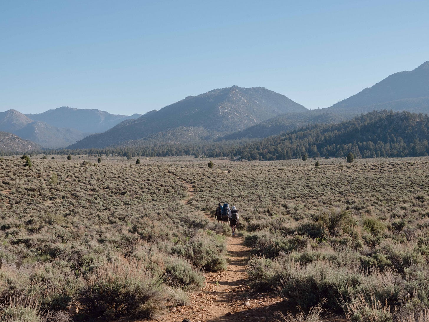


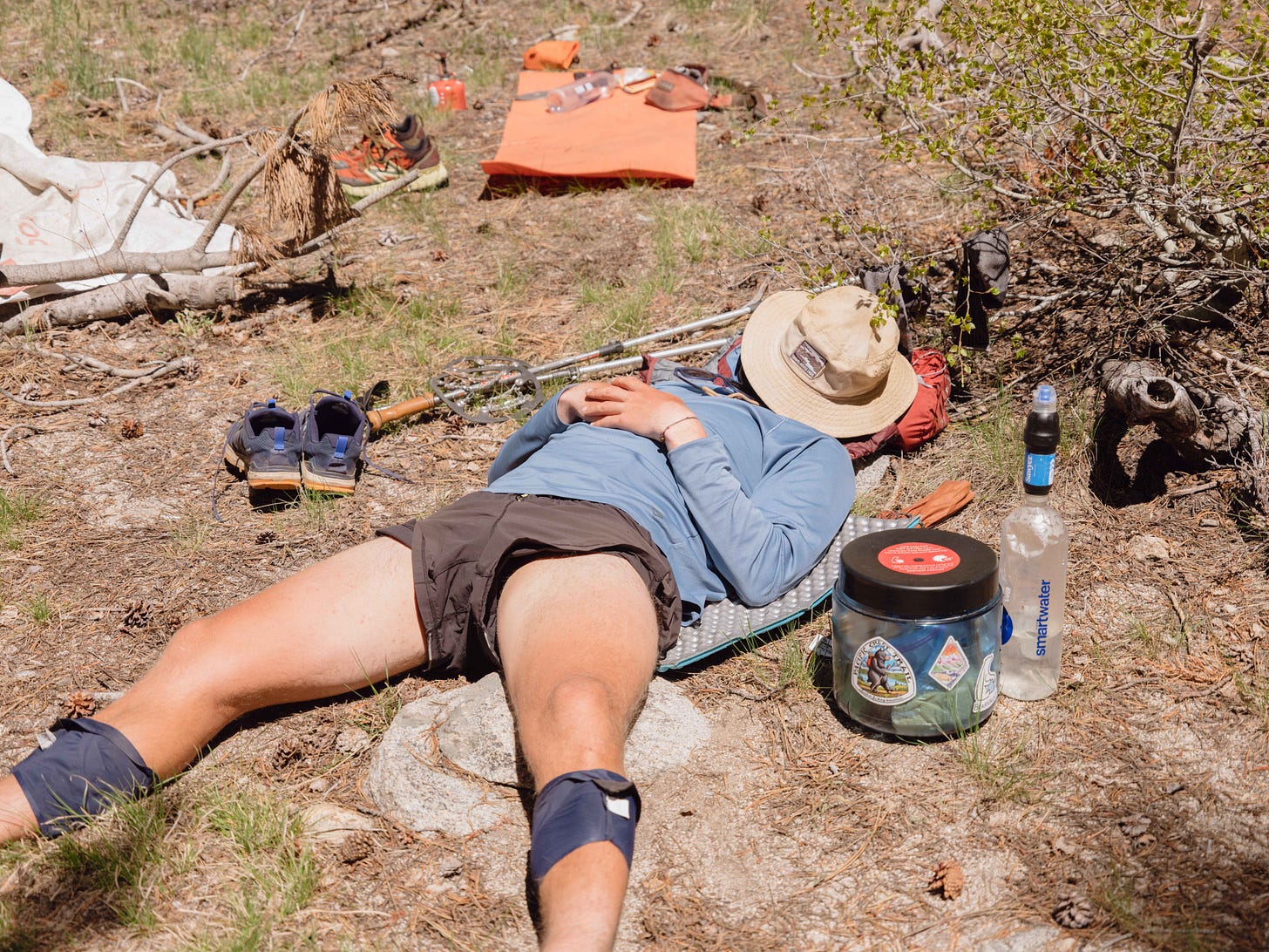
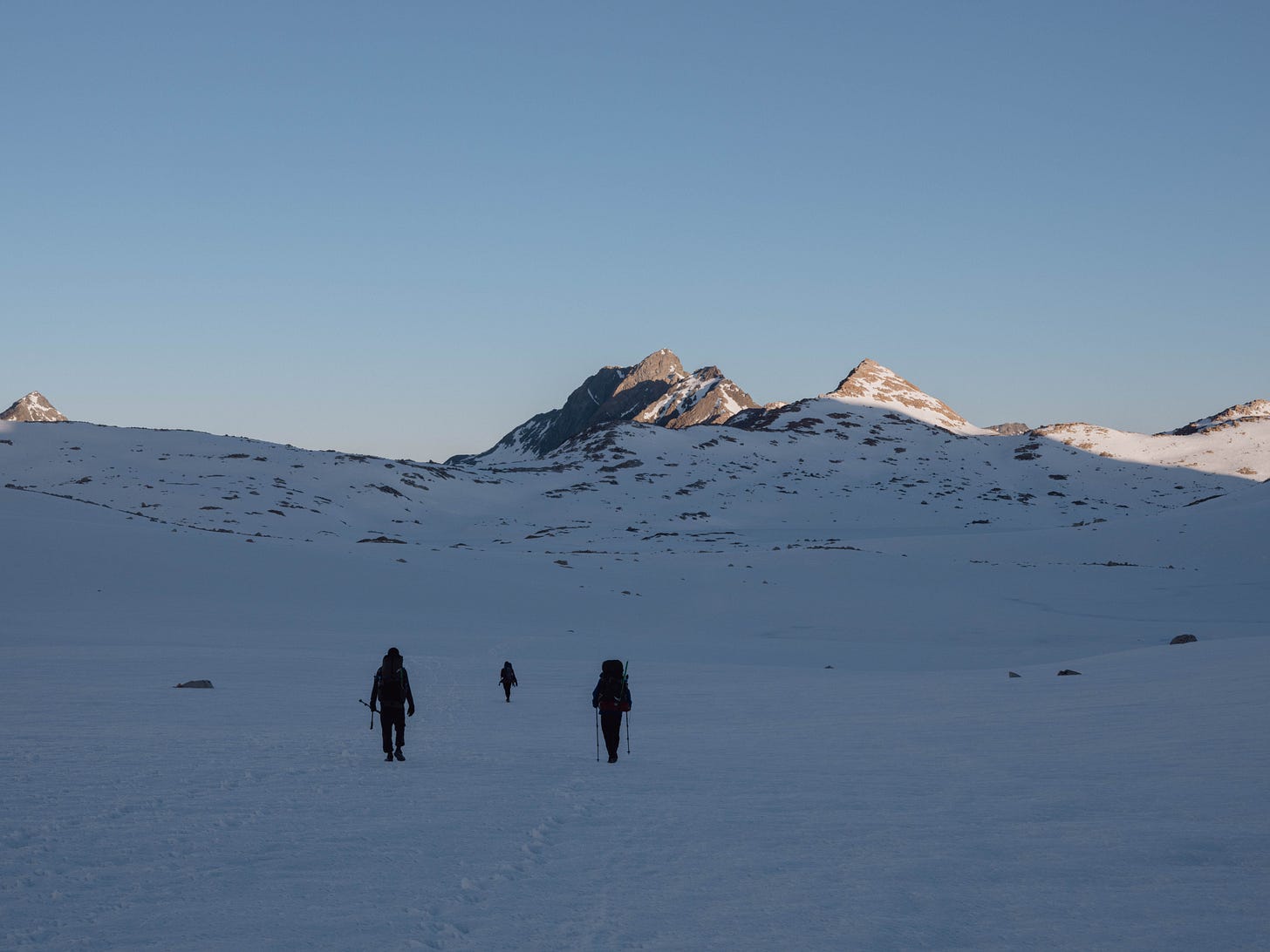
Brilliant stuff, again. The photos of Yan sleeping and the trio hiking forth struck me proper. Man, the giddiness and apprehension leaving Kennedy Meadow's was mad. Nothing like it. In 2019, I didn't enter the Sierras until June 23, I thiiiiiiink, and the snow levels seem almost identical to what your photos capture. Mad. You really never know how each year will play out.
“Vowed to never push a pair to 700 miles again” says the man who only used 4 pairs over the entire hike.
Was gutting to have left and not be part of the sierra crew.
These photos are awesome! Keen to see all of the rest of them